Since I walked to Berlin in 2019, I’m really into walking long distances. While I currently cannot take a month off to repeat that distance again, I like to walk distances of 30-40km (and sometimes more) a day.
This time I prepared for a walk to Amsterdam Central Station, just for fun and for an easy return trip by train.
🗺️ Preparation of the route
The most important thing I did was plan my trip. I used RunnerMaps, a Dutch site where routes can be made by simply setting a start and end location. This route can be modified, and so I ended up with a route of 63,9km.
After the route was set, I downloaded the GPX file to my smartphone, to be used in OsmAnd, the Android app for OpenStreetMap.
🎒 Preparation – gear
While walking I usually bring some gear and other stuff. Here’s a list of what I brought this time:
- Backpack Deuter Race Air 10
- Two liters of water in my Platypus Hoser.
- Two pairs of extra socks
- Paper tissues
- Rain jacket, works great to keep out the cold wind that was forecasted
- Battery pack for recharging my smartphone because GPS tracking drains the battery rather quick
- Energy tablets (dextrose)
- Blister bandages (more on that later…)
- Lightweight but warm gloves
- Bluetooth headphones for some musical entertainment along the way
⏰ Planning
Since I was planning for a 60km+ walk, I needed to start early in the morning to arrive at a decent time. So, I decided to set my alarm at 5am, so I could leave at 6am. This gave me some time to get dressed, have a drink and some food, and loose some weight in the toilet😉.
After preparing some sandwiches to eat during the breaks, and filling my waterbag, I was ready to go.
More planning is not necessary.
🚶🏼 The journey
I closed the door of my house, and left the rest of the family sleeping. It was 6am, still dark outside, around 8°C and a bit windy. Happy that I was wearing my gloves.
Walking early in the morning is very nice, it’s still quiet outside, not much cars around, all I could hear was some birds.
I left my hometown Berkel en Rodenrijs in northerly direction, straight into the city of Zoetermeer. After a few kilometers I came across a construction site, and I had to take a small detour (see if you can find it on the map). I continued my route and walked through a tunnel that goes under the A12, one of the many highways we have in our small country.
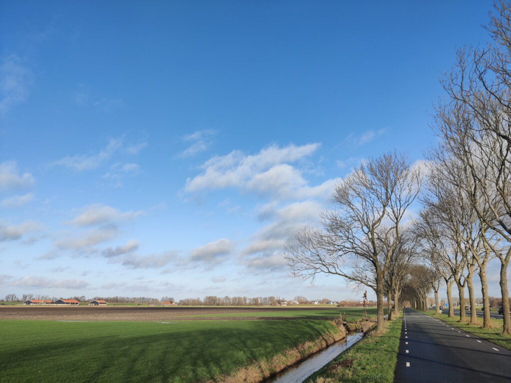
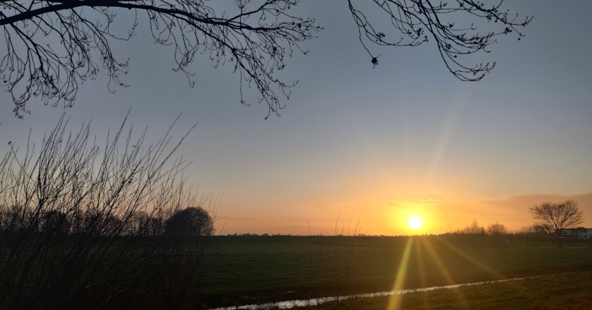
After an almost straight part of the route, which was about 7km long, I arrived in Benthuizen, a small town northeast of Zoetermeer. From that point on I entered the farmlands between Zoetermeer and Alphen aan den Rijn. Seeing the sun come up there was a very nice thing to see (see cover image).
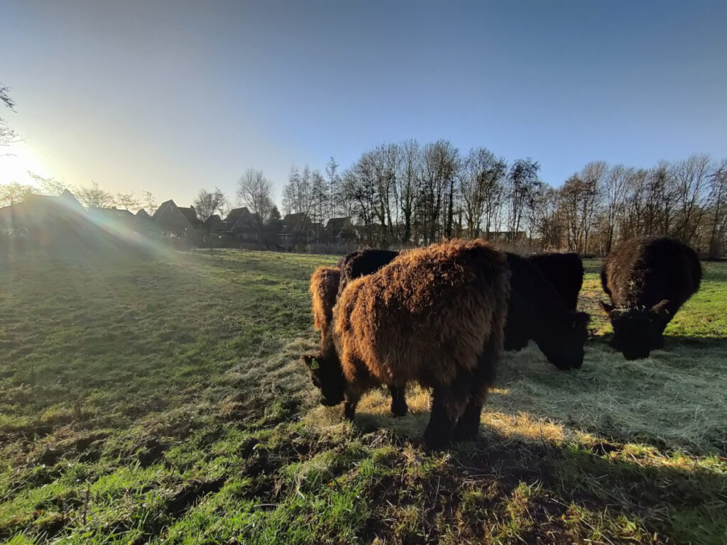
When I arrived in Alphen aan den Rijn, I walked through a stretched city park, that is the home of some Galloway cattle.
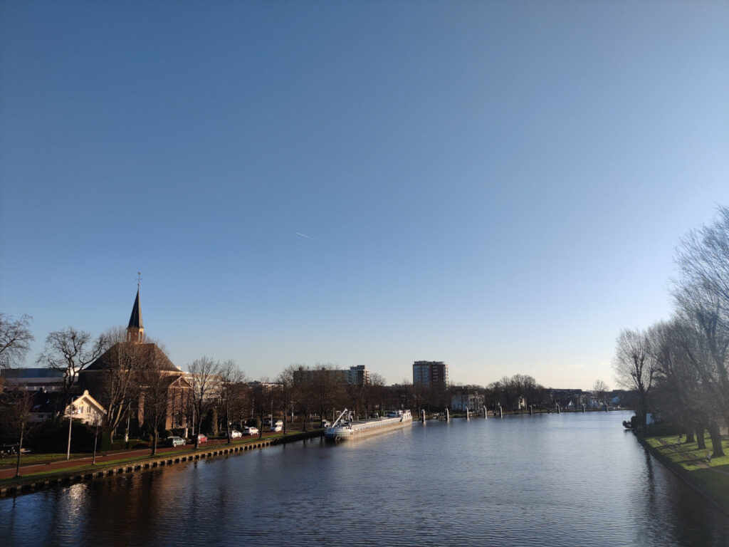
After walking almost entirely below sea level (check out the height graph under the route), the bridge over the river Oude Rijn took me to 5 meters above sea level. On the other side of bride was a bus stop, where I decided to do a first “cool and dry” session for my feet. I put on a fresh pair of socks and continued my hike to the village of Rijnsaterwoude.
After about two kilometers I saw a kind of memorial monument about a town that disappeared, Jacobswoude. Story goes this town was a victim of peat excavation and it vanished in 1740, when the church was taken down. The monument is situated at the place the church supposedly was. Supposedly, because the existence of the town Jacobswoude is highly doubtful.
For people that understand Dutch, here is a fragment (listen carefully to the introduction of the reporter) of a Dutch TV show from 1975 about this place.
Rijnsaterwoude, where I crossed half of the total amount of kilometers I planned to walk, was the next village I traversed. It is situated next to the Braassemermeer. The lake is mainly used for water sports recreation such as canoeing and sailing. Along the lake there are several marinas and a covered marina, water sports clubs, boat rental companies, cafes and restaurants.
The next town I had on my radar was Leimuiden. I crossed the river Drecht, and saw a very nice cafe/restaurant name Prik & Proost and I thought it was a good idea to have a nice warm cup of tea, and some extra rest. After about a half hour, I paid for the tea, and continued my walk.
At this point I started to feel some weird feelings on my heels, not pain, but the feeling that something was happening there. Blisters in the making… Which I tried to ignore for another ten kilometers.
I walked through Leimuiden and took a right turn after crossing the Ringvaart of the Haarlemmermeer Polder. A 60 kilometer circular canal surrounding the Haarlemmermeer polder. This canal connects to the Westeinderplassen and I was supposed to follow until I reached the Amsterdamse Bos (The Amsterdam Forest).
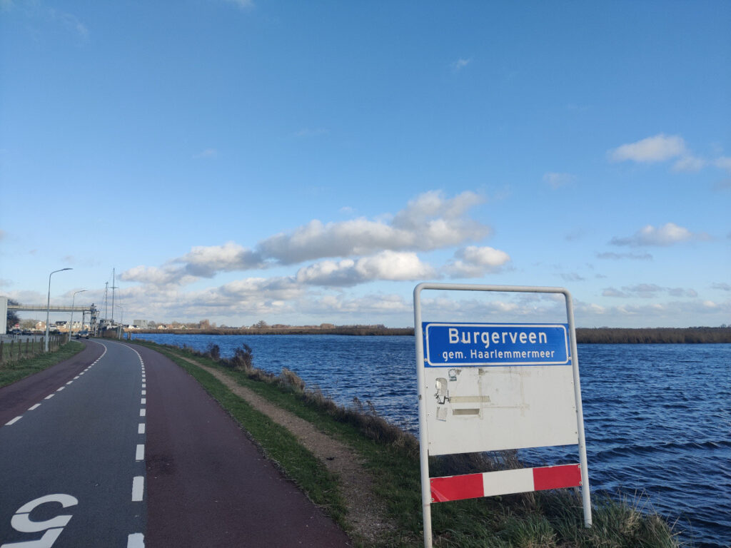
After walking through Burgerveen and Rijsenhout, I entered the small town of Aalsmeerderbrug, where the pain in both my feet got to me. I decided to stop, and continue my walk to the nearest bus stop. From there I took a bus to Schiphol, the Intercity train to Rotterdam, continued by a 15 minute metro ride to my home town.
The last 10 kilometers of this hike were not a reflection of the entire trip. I had a lot of fun and enjoyed it till the very last step. I’m already planning a new walk, which I will probably also share here.
📓 Lessons learned
- Take some time before you leave in the morning to drink and eat something and to make sure a certain toilet visit is done at home (💩)
- Bring enough water (and drink it) and food
- Take enough breaks (I need to learn to take more breaks)
- Enjoy the views
- When the feeling of developing blisters appears, take measures (as in blister bandages)
🛰️ The route
In the map below, you can see the route I walked.
Cover photo by Me.


Leave a Reply