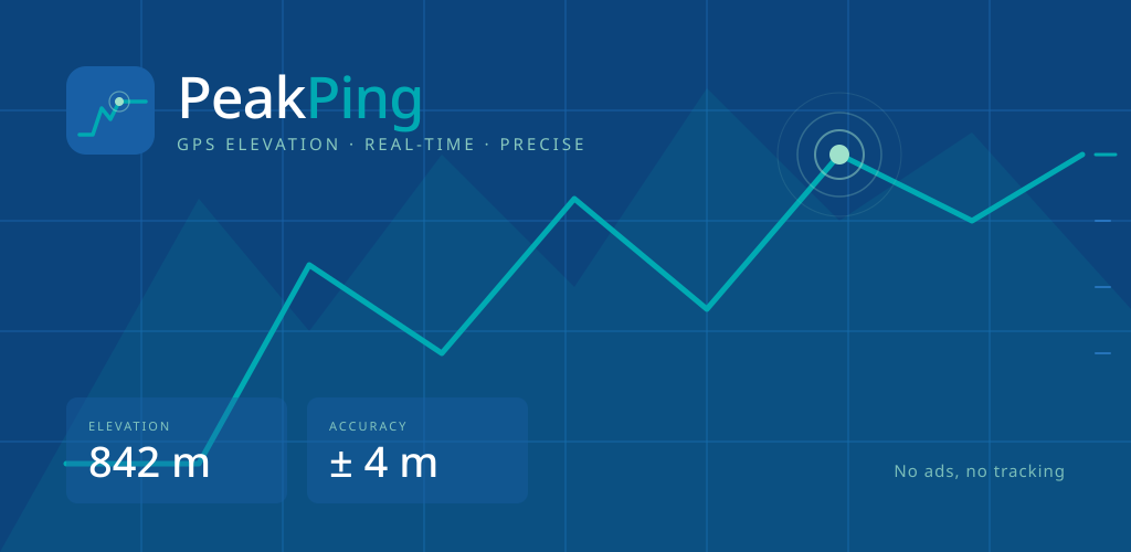
About the app
Know exactly where you stand, in every sense. PeakPing is a free, open-source app that shows your real-time GPS elevation, location accuracy, and atmospheric pressure. Built for hikers, cyclists, and outdoor enthusiasts who want precise altitude data without the clutter.
The app is currently being tested and will soon be available in the Google Play store. Want to test? Send an email to marcel@bootsman.org
Features
Core
- Real-time GPS elevation display, updated every second
- GPS-calibrated barometer for smooth altitude readings between fixes
- Horizontal and vertical accuracy display
- Live satellite count (shows how many GPS satellites are used in the current fix)
- Reverse geocoding. Automatically shows your city and country name
- Saved Locations. Save your current location as a pin with label, coordinates, elevation, and timestamp
- View and delete saved pins
Display & Settings
- Metric and imperial unit support (meters/feet)
- Dark, light, and system theme modes
- MSL (mean sea level) altitude using EGM96 geoid correction for accurate elevation on older Android versions; uses Android’s native MSL on Android 14+
Privacy & Transparency
- No internet connection required (except for place name lookup)
- No accounts, no tracking, no ads
- All data stored locally on device
- Open source (GPLv3)
Requirements
Android 13 or higher.